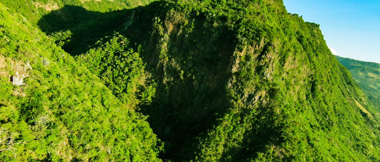
Every image shot through the eyes of a drone is an invitation to explore the world. Join the adventure.
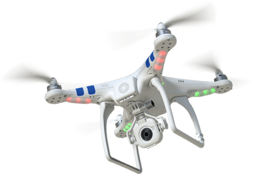
Our aerial survey services provide precise and detailed data from an elevated perspective, offering unparalleled insights for various applications. Using state-of-the-art drone technology, we capture high-resolution images and videos that allow for accurate analysis and decision-making.
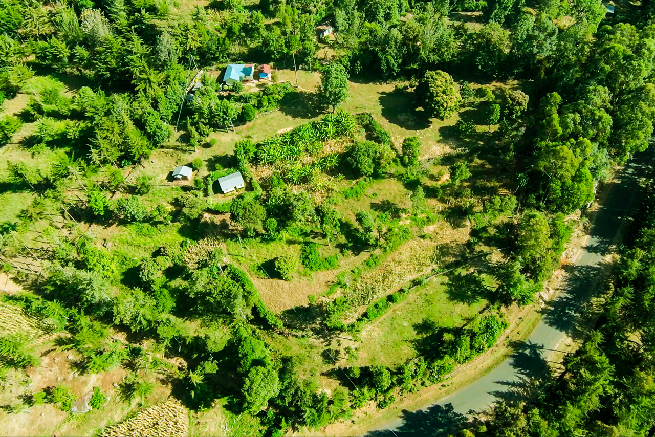
Whether you need detailed mapping, site inspections, or environmental monitoring, our aerial survey services provide the insights you need to make informed decisions.
Our professional team ensures that all aerial survey operations are conducted safely, adhering to all regulatory requirements and industry standards.
Our team comprises experienced drone professionals dedicated to delivering excellence on every project.
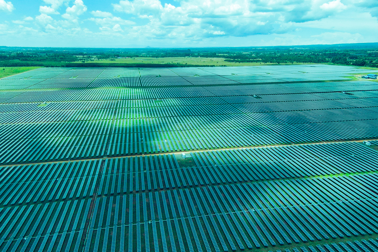
With a commitment to innovation and excellence, we provide tailored solutions for agriculture, construction, real estate, and more.