Land Information Management Systems (LIMS) revolutionize how land data is captured, stored, and utilized.
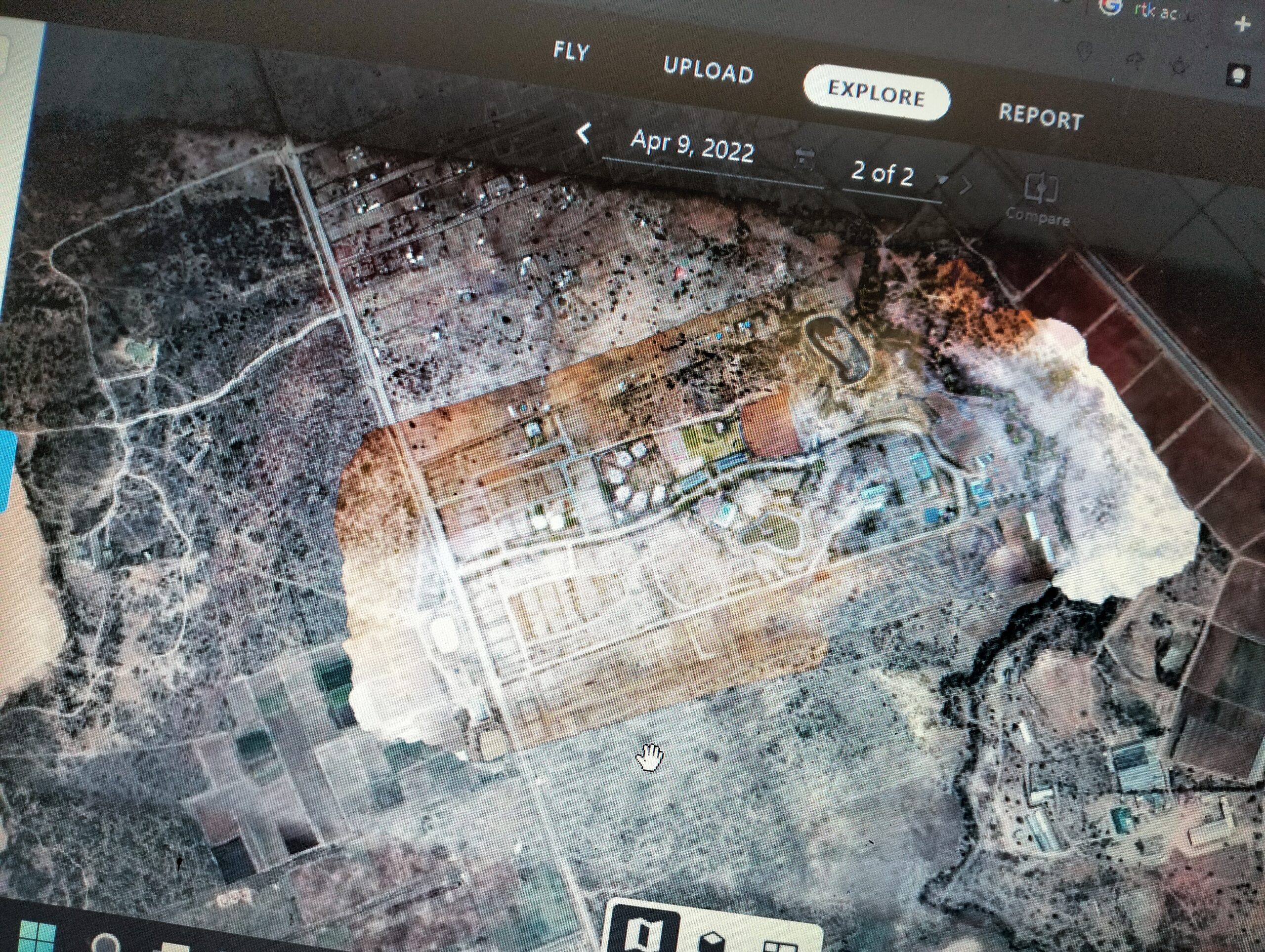
Through advanced drone technology and GIS integration, LIMS provides comprehensive and accurate spatial data. This enhances decision-making for land use planning, property management, and development projects.
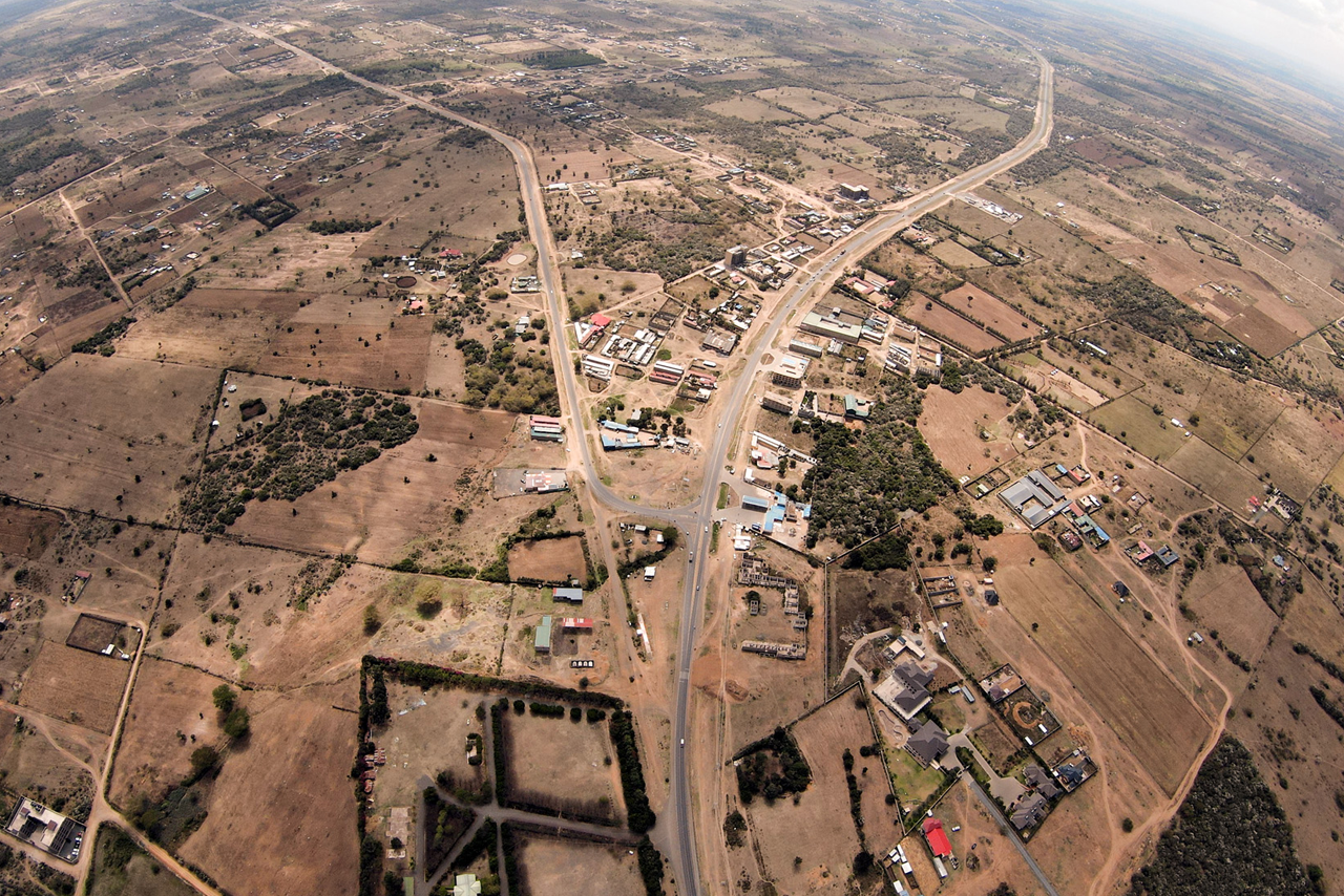
By leveraging high-resolution aerial imagery and precise geospatial data, LIMS offers unparalleled insights into land features, property boundaries, and infrastructure. This system supports various applications, from urban planning and environmental management to disaster response and resource allocation, ensuring efficient and sustainable land use.
Embracing LIMS means embracing a future where land information is easily accessible, highly accurate, and instrumental in shaping better communities.
At DroneVerse, we prioritize quality, innovation, and customer satisfaction. Experience the best drone services available, tailored to your specific needs.
To lead the industry with groundbreaking drone technology and exceptional service, inspiring creativity and innovation.
To provide top-quality drone services that exceed expectations, delivering outstanding results for our clients.
Experience the future of data collection and analysis with DroneVerse. Together, we can transform your vision into reality, one aerial shot at a time.
Our team consists of experienced drone professionals dedicated to delivering excellence in every project.
With a commitment to innovation and excellence, we provide tailored solutions for agriculture, construction, real estate, and more.