Every image shot through the eyes of a drone is an invitation to explore the world. Join the adventure.
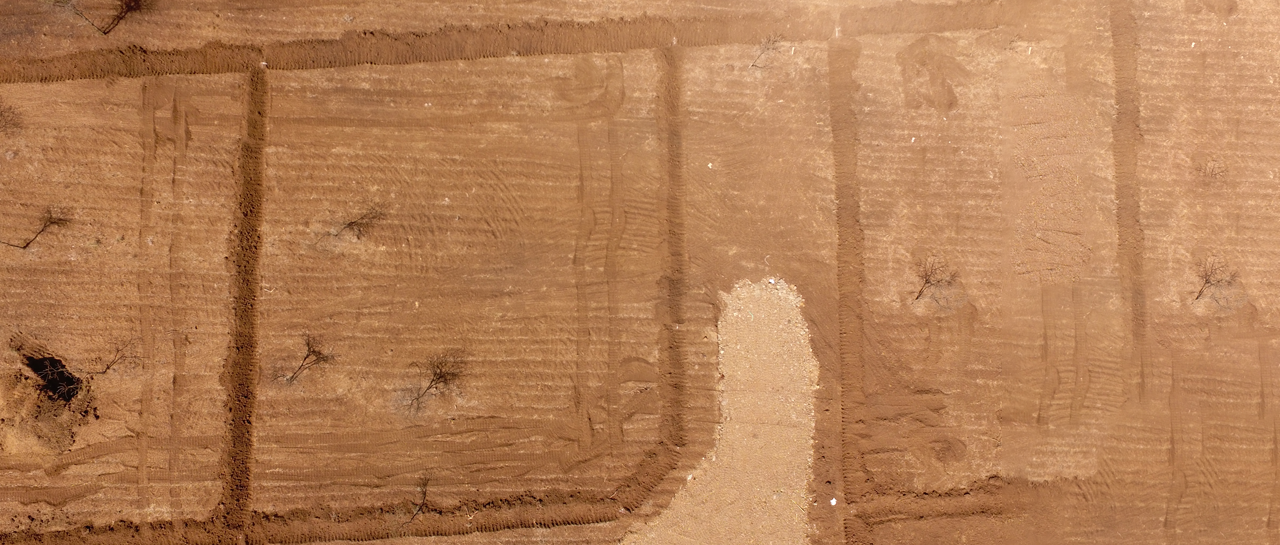
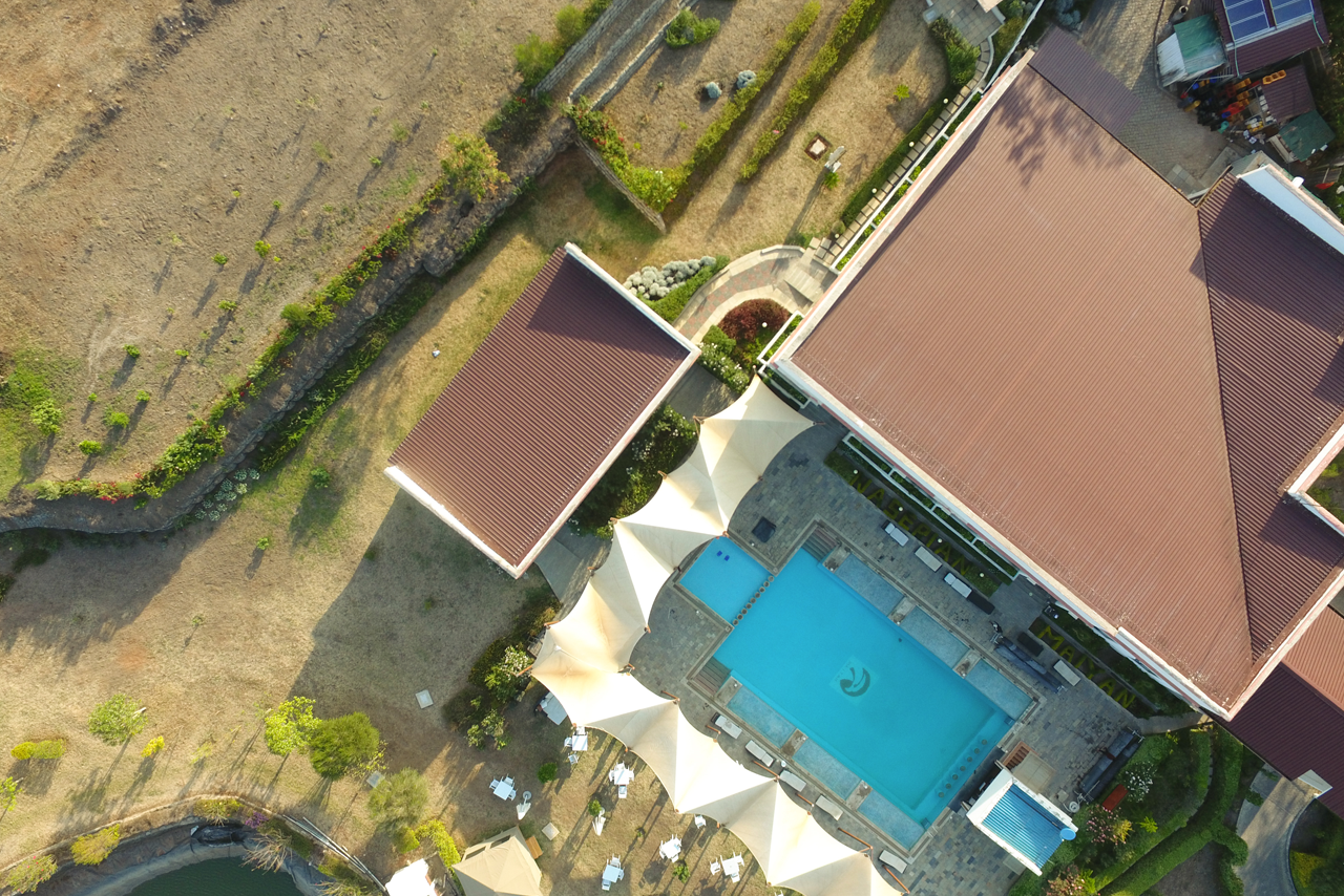
Our drone site planning services provide precise and efficient solutions for various projects. Whether it’s urban development, construction, or landscaping, our drones offer high-resolution imagery and data to ensure thorough site evaluations.
Our state-of-the-art drones enable detailed site analysis, reducing the need for manual surveys and minimizing risks. With our advanced technology, we deliver accurate assessments and comprehensive reports.
We offer unparalleled drone site planning services with cutting-edge technology and expert analysis, ensuring that your planning needs are met with precision and reliability.
Our drone site planning provides rapid and thorough evaluations, saving time and resources while delivering high-quality data.
With drones, we conduct site evaluations safely from a distance, eliminating the need for personnel to enter hazardous environments.
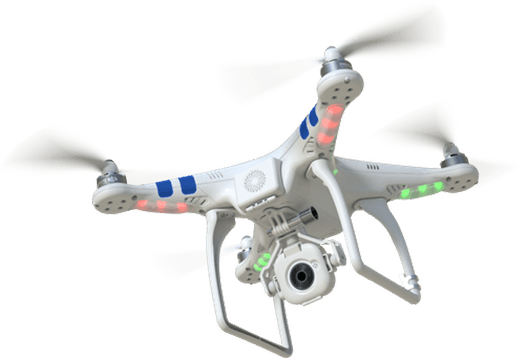
Experience the best in drone technology with our professional aerial photography and site planning services.
Our team of drone experts is dedicated to providing top-notch site planning services with expertise and precision.
With a commitment to innovation and excellence, we provide tailored solutions for agriculture, construction, real estate, and more.